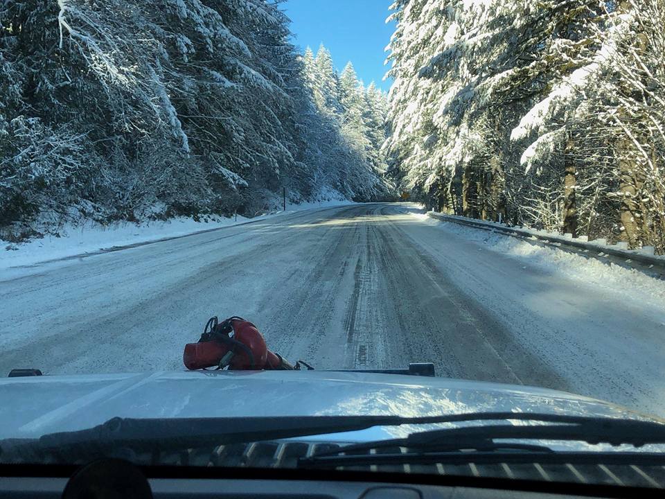
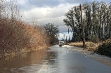
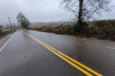
 Banks Fire District 13 has responded to multiple crashes on Highway 26 in the past few days due to weather-related incidents. Photo from Banks Fire District.
NW OREGON – The Portland branch of the National Weather Service (NWS) is warning—with a lot of disclaimers—that the valley floor could see some snow on Monday night and on Tuesday, but for those in Timber and other high elevation communities, this Winter Storm Warning is for you: Overnight, the NWS says that elevations at 1,000 feet could see 6 to 10 inches of additional snow, specifically calling out the pass on Highway 26 as particularly difficult to traverse on Monday night or Tuesday.
While snow levels will likely vary across lower elevations, with some areas potentially seeing snow and others not (up to 6 inches at 500 feet elevation), Portland NWS is more confident in its assessment of the Coast Range forecast.
In addition to potential snowfall, a Flood Watch starts Monday night at 7 p.m. for all areas of our newspaper’s coverage territory and will continue until late Tuesday night.
According to the Portland NWS, heavy rain combined with snowmelt could cause flooding in some rivers and small streams.
Sand is located in the Sunset Park parking lot in Banks, and in Forest Grove at the city lot across Ash street near Forest Grove Fire & Rescue. While in the past, sand and bags have been available at the Gales Creek station, that is no longer the case, according to Forest Grove Fire & Rescue spokesperson David Nemeyer.
Fore more information, view the NWS warnings and watches by clicking on the map on this page.
This article has been updated to note that sand is no longer available at the Gales Creek Fire Station.

Chas Hundley is the editor of the Gales Creek Journal and sister news publications the Banks Post and the Salmonberry Magazine. He grew up in Gales Creek and has a cat.


